Since 2012, hundreds of bikers have traveled to Menorca to take on the Camí de Cavalls 360º route. Many of them, before starting, have asked us about the degree of rideability… Well, our answer has always been the same: it depends on who you ask.
 ▶
▶
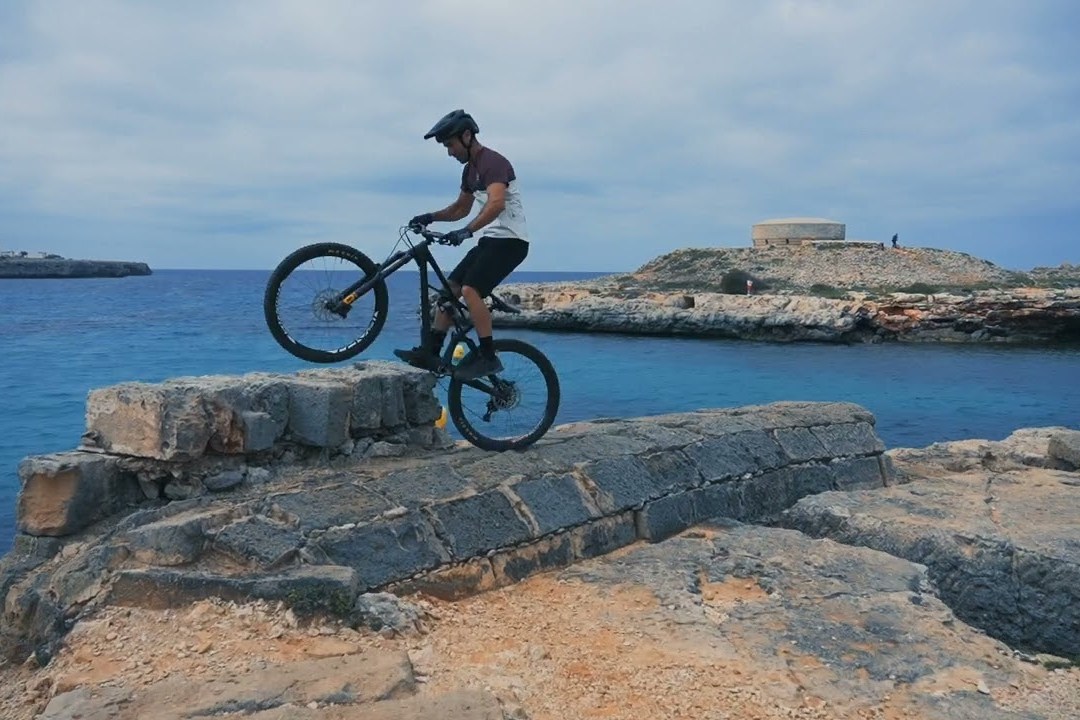
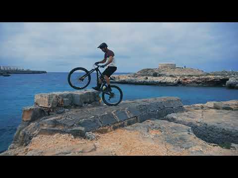
J.A. Linares stars in this video, where he shows that for him, it’s absolutely rideable. Unstable terrains, rocks, loose stones, roots, steps, holes, steep slopes… nothing seems to be an obstacle for him. But it might be for others. That’s why we don’t use the concept of rideability to define the difficulty of the route.
Distance and elevation gain aren’t helpful either, as they might be in many other tracks. In the case of Camí de Cavalls 360º, these numbers provide no information about the difficulty whatsoever. The terrain and technical difficulty are the key elements to consider, along with other challenges depending on the season: heat and the lack of water points in some sections during summer, or strong winds from fall to spring.
Tampoco son útiles las distancias y los desniveles acumulados, como sí lo son en muchos otros recorridos. En el caso de Camí de Cavalls 360º, estos datos por sí mismos no proporcionan absolutamente ninguna información sobre la dificultad. El terreno y la dificultad técnica son los elementos que hay que tener más en cuenta, además de otras dificultades añadidas según la temporada: el calor y la falta de puntos de agua en algunos tramos en verano, la fuerza del viento entre el otoño y la primavera…
So, how do we assess and guide participants?
We use a five-level difficulty system based on objective factors: physical elements or obstacles, slopes, terrain types and consistency, and similar aspects. This classification takes into account the technical skills needed to tackle each section and the physical capacity required but does not factor in subjective aspects or the personal conditions of each participant.
CdC360 difficulty levels
The classification makes no value judgment about the difficulty, as what might be hard or even impossible for one person could feel easy or moderate for someone else; what might be a grueling experience for one could mean great fun for another. It’s up to each participant to interpret the information and make an appropriate assessment of their own abilities relative to the track.
The description of the difficulty levels is based on ideal conditions: daylight, optimal terrain moisture, etc. It does not account for variable factors like weather (temperature, wind, or rain), lighting conditions, speed, bike quality, etc.
Each person must consider these factors when the time comes to supplement the information provided by the classification. For instance, riding the route in perfect weather with a high-end bike is entirely different from doing it in rain, mud, and with a low-end bike in poor condition.
Our roadbook, which we explain and provide to participants, describes each difficulty level in detail and identifies all parts of the route with the corresponding level of difficulty. It’s a great tool for planning the day’s stage and deciding the best route option based on each participant’s skill level.