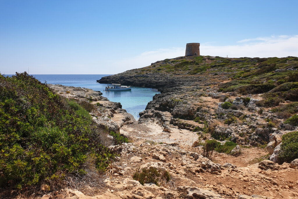
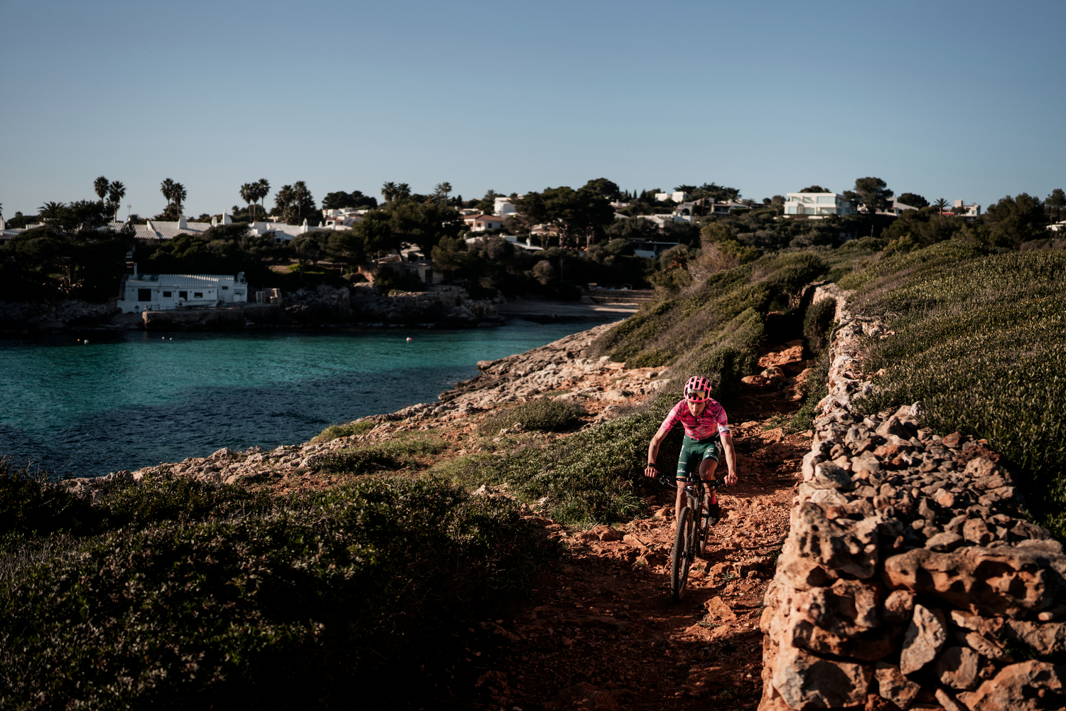
The last stage of the route still holds surprises: interesting spots such as Calescoves, the views of Illa de l’Aire, or the Torre d’Alcalfar. It unfolds through a combination of rocky sections, rural paths, and residential areas.
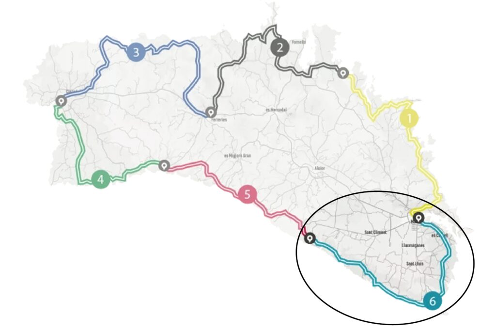
Camí de Cavalls 360º offers a mountain bike route around Menorca inspired by the Camí de Cavalls and adapted to maximize enjoyment on two wheels. It is an exhilarating route with short but intense uphills and downhills. The rugged terrain of the Menorcan coast gives it great appeal and high difficulty. Hardness and fun are guaranteed.
The route has three options (Standard, Plus, Basic) to suit the participants’ level. It can also be divided into three to six stages, depending on the pace and availability of time. The MTB 6 stages option is a favorite that suits a wider range of cyclists. However, it requires a physical and technical base that allows participants to tackle a much tougher and more demanding route than its total figures of over 190 kilometers and almost 2,500 meters of elevation suggest.
With Camí de Cavalls 360º, participants only have to think about biking and enjoying the landscapes and scenery. The organization team takes care of the rest: advice on the route and its variants, logistical issues, and even transfers to accommodations when necessary.
STAGE #01: MAÓ – ARENAL D’EN CASTELL
STAGE #02: ARENAL D’EN CASTELL – FERRERIES
STAGE #03: FERRERIES – CIUTADELLA
STAGE #04: CIUTADELLA – CALA GALDANA
STAGE #05: CALA GALDANA – CALA EN PORTER
STAGE #06: CALA EN PORTER – MAÓ
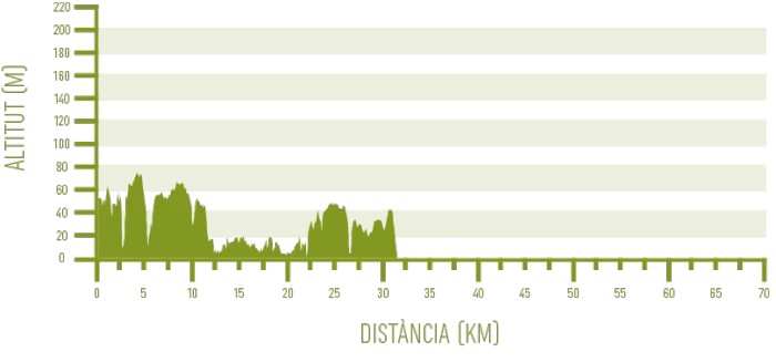
Distance: 32,00 km / Elevation gain: 253 m
This sixth and final stage runs entirely along the Camí de Cavalls, except for a portion of the Basic route. While there are rocky stretches similar to those in other stages along the southern coastline, these are not predominant in this case, leaving more room for rural paths through the countryside and paved, residential areas. The first ten kilometers concentrate most of the elevation changes and technical challenges.
From Cala en Porter to Binissafúller
The stage begins along the streets of the Cala en Porter residential area before heading out toward the upper part of Barranc de Son Domingo, which leads to Calescoves. The downhill to this double cove is highly technical, and some sections may need to be done on foot. Once at the bottom, it is worth deviating a few meters from the Camí de Cavalls to enjoy the scenery of Calescoves, home to Menorca’s largest prehistoric necropolis.
Next, a steep climb awaits on terrain that is again difficult, forcing most bikers to push their bikes for nearly the entire ascent. The terrain changes at the top, where the route crosses farmland, some of which is no longer in use.
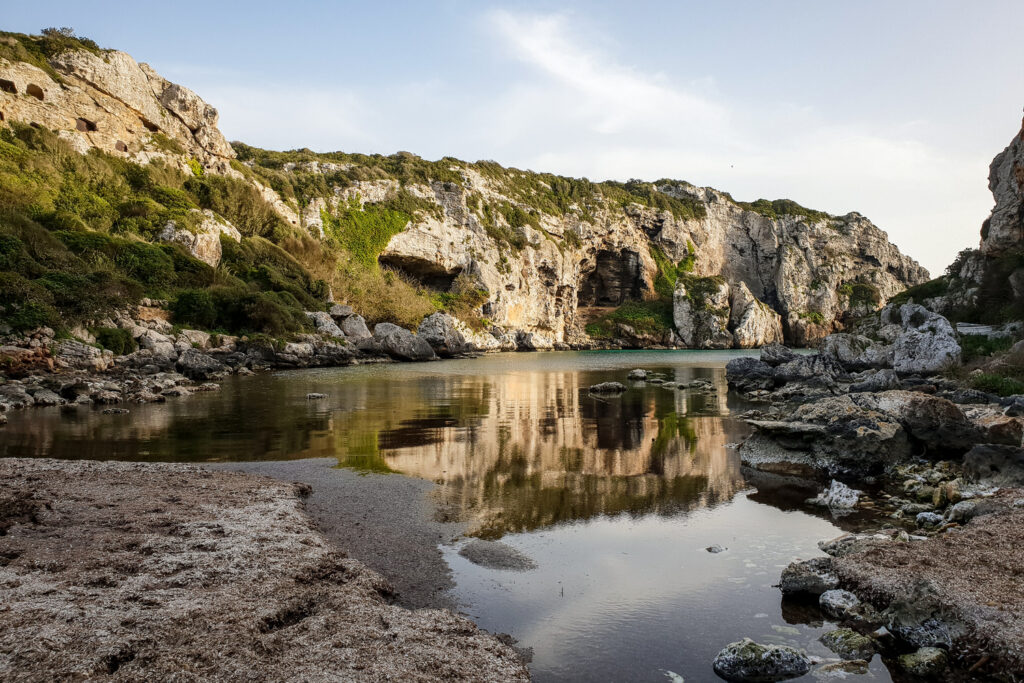
There isn’t much time to dwell on the state of Menorca’s countryside, as the route soon descends on a track leading to Cala des Canutells. The cove lies a few meters to the right of the path. The route passes through the Es Canutells residential area, which must be traversed via a steeply ascending paved street.
The trail then continues on a road for nearly two kilometers before veering right into a predominantly rural landscape. The fields are briefly interrupted by the Binidalí road, which must be crossed. At this point, the Basic route rejoins the Standard and Plus routes, after having followed an alternative itinerary from Cala en Porter. Although longer, this alternative avoids all the challenges in the Calescoves and Es Canutells area.
The small Barranc de Biniparratx marks the last challenging section before reaching Binissafúller and its cove.
From Binissafúller to Alcalfar
The three routes do not separate again for the remainder of the stage. After passing Cala de Binissafúller and about 400 meters of rocky trail, the Camí de Cavalls follows an asphalted path for seven kilometers, crossing the residential area that includes Binibèquer Vell, Binibèquer Nou, and Biniancolla. This is a fast, easy section with no elevation changes.
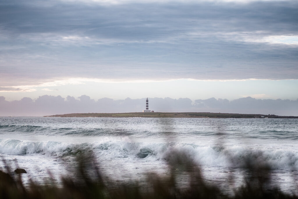
Soon, the route reaches Punta Prima, Menorca’s southeastern tip. From here, bikers can observe the Illa de l’Aire, located off the coast and notable for its lighthouse. It remains clearly visible for a while, though cyclists should pay close attention to the terrain, which features rocky and technical sections for the next two kilometers.
The historic Torre d’Alcalfar is located within this technical section. Behind it lies Cala d’Alcalfar, which marks the end of this challenging portion, along with the small cluster of houses that surround it.
From Alcalfar to Maó
With less than ten kilometers to go, the route enters rural terrain once more. A wide, manageable dirt track passes through fields before nearing Cala Sant Esteve. At this point, the trail narrows, becoming enclosed by dry stone walls and featuring a very rocky surface.
Finally, after Cala Sant Esteve, only about five kilometers of asphalt remain before reaching Maó, passing through the town of Es Castell. The end of the stage and the route is located at Pla de Baixamar in Maó’s harbor.
